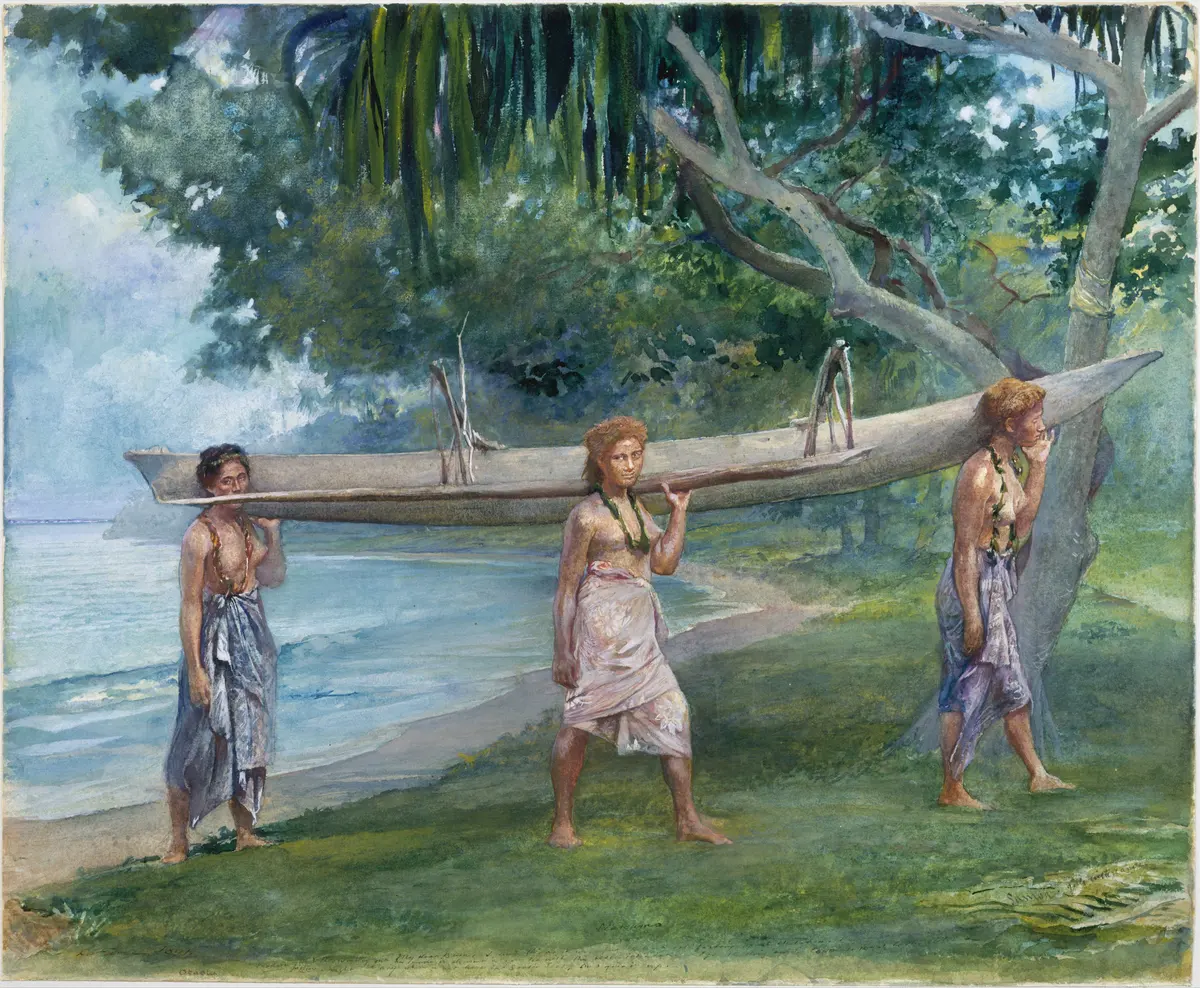
Painted in 1891, about 3,100 years after the first crossing
Landfall Three
Across the gap
About 1250 to 1050 BC
Carrying an outrigger canoe in Samoa: a watercolour by John La Farge, 1891, nearly three thousand years after the first Lapita voyages. Photo: The Metropolitan Museum of Art, CC0, via The Met Open Access.
The questionHow did people cross a stretch of sea that no one had crossed for 30,000 years?
An invisible boundary
Patrick Kirch, an archaeologist of the Pacific, describes the sea gap between the main chain of the Solomon Islands and Vanuatu as an invisible boundary. For 30,000 years nobody crossed it. Then, around 3,000 years ago, the Lapita did.1
Island after island
Beyond the boundary lay Remote Oceania, islands where no one had ever lived.4 Dates from the earliest Lapita sites show how fast the voyagers spread. Most come from radiocarbon;2 Tonga’s comes from coral tools, which date it more closely, as chapter five explains.4
- 1250 BCReef and Santa Cruz Islands
- 1050 BCVanuatu, New Caledonia and Fiji
- 800s BCTonga
- 750 BCSamoa
In about five hundred years they settled island groups spread across thousands of kilometres of ocean, from the Santa Cruz Islands to Samoa.2
Waiting for the wind
Nobody knows exactly how the voyagers chose when to sail. One way to find out what was possible is to sail the voyages again in a computer, with real records of the Pacific’s winds and currents. A study in 2016 did just that, and found that the seasons, and El Niño years, made a big difference to which voyages could succeed.3
It found that every eastward crossing from the Solomon Islands towards Samoa, by the shortest hops between islands, could be made by sailing downwind during spells of westerly wind lasting three to five days.3 Choosing the moment to leave may have mattered as much as the canoe.
The voyages in the 2016 study were sailed with records of the winds of recent decades.3
Key words
- Voyaging
- Making long journeys by sea, on purpose, to a place you mean to reach.
- Downwind
- Sailing in the same direction as the wind is blowing.
- Westerly
- A wind that blows from the west, towards the east.
- El Niño
- A change in the Pacific’s weather every few years, when the usual winds and currents weaken or turn.
- Colonise
- Here, to settle land where no people lived before.
Check yourself
Try to answer in your head, then open each one.
For how long was the sea east of the Solomon Islands a boundary?
About 30,000 years.
Which islands beyond the boundary were settled first, and when?
The Reef and Santa Cruz Islands, about 1250 BC.
How could canoes sailing east get help from the wind?
By sailing downwind during spells of westerly wind, which last three to five days.
What does Patrick Kirch mean by “pull” rather than “push”?
That people were drawn to new islands by what they offered, such as new food, rather than forced out by crowding at home.
Go deeper
- Teouma, the oldest cemetery the first people of Vanuatu
- The long pause where the voyages stopped, and why
Sources for this page
Every number on this page comes from one of these. How we check.
Last reviewed 13 November 2026. Spotted a mistake? Tell us.
- Meduna, V. (2016). Tracking the Lapita expansion across the Pacific. Our Changing World, Radio New Zealand, 2 November 2016. Interviews with Patrick Kirch and Matthew Spriggs. www.rnz.co.nz/news/ourchangingworld/546545/tracking-the-lapita-expansion-across-the-pacificUsed for: The first settlers of Near Oceania about 40,000 years ago; the sea gap east of the Solomons as a boundary for 30,000 years; Kirch on pull, not push; coastal sites, fish hooks, nets and adzes; the oldest pots most richly decorated; Taiwan as the likely origin of Austronesian languages; Spriggs on the threshold beyond Tonga and Samoa. Checked 13 November 2026.
- McNiven, I. J., David, B., Richards, T., Aplin, K., Asmussen, B., Mialanes, J., Leavesley, M., Faulkner, P. and Ulm, S. (2011). New direction in human colonisation of the Pacific: Lapita settlement of south coast New Guinea. Australian Archaeology 72, 1–6. researchonline.jcu.edu.au/17433/1/mcniven_etal_2011.pdfUsed for: Lapita pottery arose in the Bismarck Archipelago about 3300 cal BP; first dates for the Reef and Santa Cruz Islands (3200), Vanuatu, New Caledonia and Fiji (3000), Tonga (2900) and Samoa (2700 cal BP); a colonisation 4,500 km long; Lapita sites on the south coast of New Guinea, 2900 to 2500 cal BP. Checked 13 November 2026.
- Montenegro, Á., Callaghan, R. T. and Fitzpatrick, S. M. (2016). Using seafaring simulations and shortest-hop trajectories to model the prehistoric colonization of Remote Oceania. Proceedings of the National Academy of Sciences 113 (45), 12685–12690. pmc.ncbi.nlm.nih.gov/articles/PMC5111695/Used for: Computer-simulated voyages: seasons and El Niño years shaped Pacific voyaging; eastward crossings towards Samoa could be made by sailing downwind in spells of westerly wind lasting three to five days; Samoa as the likely starting point for East Polynesia. Checked 13 November 2026.
- Burley, D., Weisler, M. I. and Zhao, J. (2012). High precision U/Th dating of first Polynesian settlement. PLoS ONE 7 (11), e48769. pmc.ncbi.nlm.nih.gov/articles/PMC3492438/Used for: Nukuleka on Tongatapu as the founding settlement of Polynesia; uranium-thorium dates on 13 coral files put first landfall at 2830 to 2846 BP, a window of 16 years, and trace the site over the next 250 years. Checked 13 November 2026.
- The Metropolitan Museum of Art. John La Farge, Girls carrying a canoe, Vaiala in Samoa; watercolour, gouache and graphite, 1891. Collection record 11374, Open Access (CC0). www.metmuseum.org/art/collection/search/11374Used for: A watercolour of three young women carrying an outrigger canoe on a Samoan beach. Checked 13 November 2026.